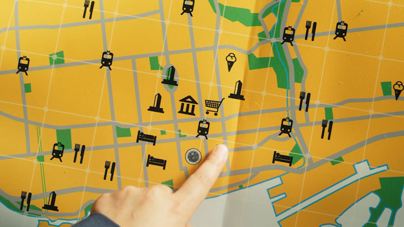
Map Skills
Within Geography

ASL

Alma's Way
Season 2 / Ep 47
8 minutes 10 seconds
Grade Level: Ps - 4


ASL
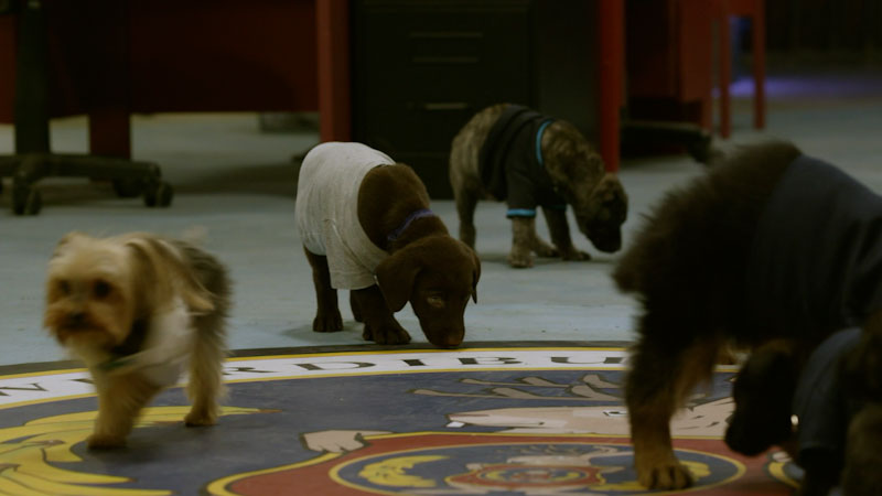
Odd Squad
Season 3 / Ep 19
26 minutes 10 seconds
Grade Level: K - 3
ASL
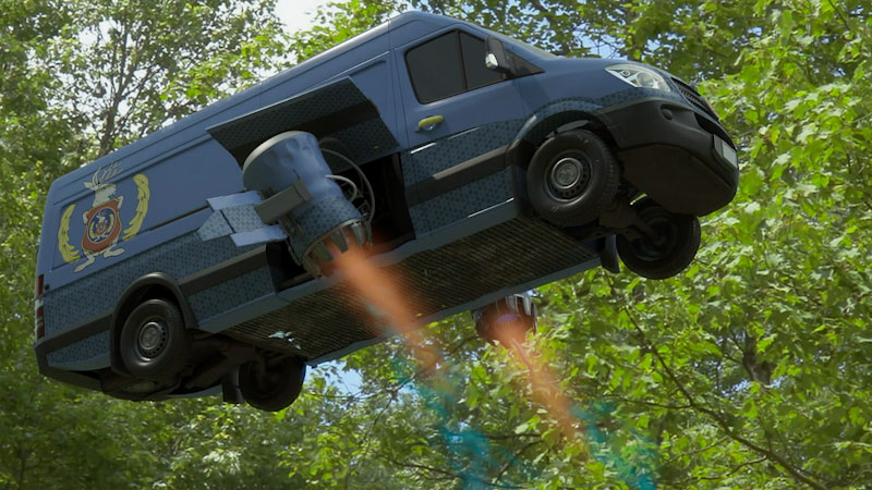
Odd Squad
Season 2 / Ep 7
26 minutes 11 seconds
Grade Level: K - 3
ASL

Odd Squad
Season 3 / Ep 20
26 minutes 10 seconds
Grade Level: K - 3
ASL
Odd Squad
Season 3 / Ep 5
26 minutes 10 seconds
Grade Level: K - 3
ASL
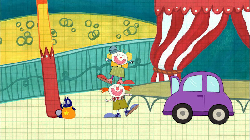
Peg + Cat
Season 1 / Ep 5
25 minutes 11 seconds
Grade Level: Ps - 1
ASL
Peg + Cat
Season 1 / Ep 25
25 minutes 11 seconds
Grade Level: Ps - 1
ASL

Peg + Cat
Season 1 / Ep 37
25 minutes 11 seconds
Grade Level: Ps - 1
ASL
Peg + Cat
Season 1 / Ep 15
25 minutes 11 seconds
Grade Level: Ps - 1
ASL
Peg + Cat
Season 1 / Ep 28
25 minutes 11 seconds
Grade Level: Ps - 1

